


e-newsletter Switch to Normal View
Overview of the Municipality / Corporation
Overview of the Municipality / Corporation
Introduction
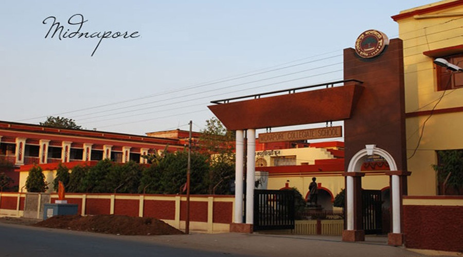
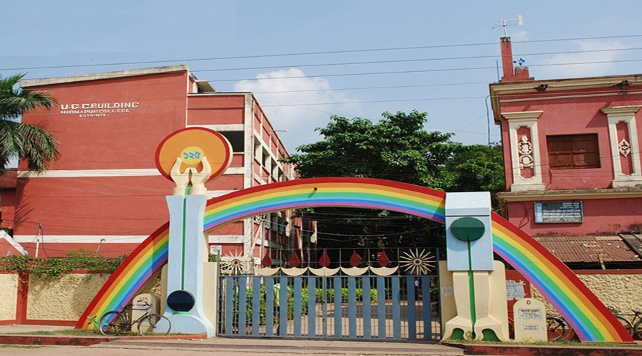
Midnapore (also written as Medinipur and Midnapur) is a town in West Bengal, India. The city is the headquarters of, and gives its name to, the Paschim Medinipur district of the state of West Bengal. The town also gives its name to a subdivision of the district. The town used to belong to the Midnapore District until the Partition of Midnapore. The Partition of Midnapore was the administrative breakup of the Midnapore District of West Bengal, India into the western part as Paschim Medinipur and the eastern part as Purba Medinipur districts that became effective on January 1, 2002. With the division of the district, the subdivisions of Medinipur Sadar, Kharagpur, Jhargram, and Ghatal were placed in Paschim Medinipur, with Midnapore, now the district headquarter of only the western half. The undivided Midnapore district had been, at one time, the largest district in West Bengal.
It is situated on the banks of the Kangsabati River (variously known as Kasai and Cossye). On the opposite bank of the river is the industrial and railway hub Kharagpur. The bank of Kangasabati River is great for sightseeing and fishing and a popular destination for picnics during the Christmas and New Year's breaks. Unfortunately the bank is being eroded by new construction, brick-kilns and new communities.
Geography
Midnapore is 23 metres above sea-level. Soils near the Kangsabati River are alluvial with a high-degree of clay or sand depending on the locality; whereas soils towards Rangamati are essentially lateritic. The Midnapore town covers an area of 18.36 sq. kms. surrounded by the Cassai river on the south, Panchkuni 1 and Panchkuni 2 G.P. on the west, Siromoni G.P. on the north and Kankabati G.P. on the eat.
Transport
Midnapore is well connected not only to larger cities in the region, but also to smaller towns and villages in the district. Midnapore Railway Station is on the Howrah-Adra and Howrah-Purulia Expres Train routes. Many major express trains pass through Midnapore The proximity to Kharagpur, a major hub of the Indian South-Eastern Railway system, only 30 minutes or less by train, makes Midnapore well connected with the major cities of India. A bus terminus (Central Bus Stand) serves the greater Midnapore area. Many buses ply to smaller towns in the districts of Midnapore West, Midnapore East, Burdwan, Bankura, and Purulia in West Bengal, to districts of Jharkhand and Mayurbhanj and Baleswar in Orisa.
Demographics
As of 2011 India census, Medinipur had a population of 1,69,127 out of which male population is 85360 and female population is 83,767.This makes it the second largest town in Paschim Medinipur district after Kharagpur. The town is almost equally divided in terms of population between Hindus and Muslims. A witness to the diversity of faith is multiple mosques and temples, many predating British rule. It is an important religious spot for the Muslims of India and Bangladesh. Even though the interesting religious mixture would suggest religions tensions, remarkably Midnapore has never witnessed major Hindu-Muslim communal tensions in recent history.
Governance
Midnapore is a municipality with 25 wards and 94,738 registered voters (2003 statistics). Midnapore elects one person to the West Bengal Vidhan Sabha and one representative to the Lok Sabha of the Parliament of India.
At a glance profile of Urban Local body
Detail profile of Urban Local Body
Name of the Urban Local Body: Midnapore Municipality
|
1 |
Name of the District : |
Paschim Medinipur |
|
2 |
Year of establishment : |
1865 |
|
3 |
Area (in sq. Km) : |
18.36 sq. km |
|
4 |
No. of wards : |
25 |
|
5 |
Distance from District Headquarter : |
District Headquarter |
|
6 |
Population (census 2011) : |
1,69,127 |
|
6.1 |
Male |
85,362 |
|
6.2 |
Female |
83,765 |
|
6.3 |
Total |
1,69,127 |
|
7 |
Density of Population (Per sq. km.) : |
9211.7 |
|
8 |
Break up of Population (2011) : |
|
|
8.1 |
Scheduled Caste |
15039 |
|
8.2 |
Scheduled Tribe |
4192 |
|
8.3 |
Minorities |
|
|
9 |
Date when last election held |
22.11.2013 |
|
10 |
Number of BPL Household (as per SUDA Survey) : |
13389 |
|
11 |
Scenario of Slum : |
|
|
11.1 |
Total No. of Slum |
156 |
|
12.2 |
Total Slum Population (as per USHA survey) |
46,735 |
|
12.3 |
Percentage of Slum Population to the total population |
27.63% |
|
12.4 |
No. of Slum where Slum Infrastructure Improvement sanctioned under BSUP/ IHSDP |
85 |
|
13 |
Road : |
|
|
13.1 |
Length of Metalled Road (in km.) |
256.77 |
|
13.2 |
Length of Non-Metalled Road (in km.) |
115.75 |
|
13.3 |
Total length of Road (in km.) |
372.52 |
|
13.4 |
Total no. of wards fully covered with Metal / Cement Concrete Road |
3 |
|
14 |
Drainage : |
|
|
14.1 |
Length of Kutcha Drain (in km.) |
375.00 |
|
14.2 |
Length of Pucca Drain (in km.) |
265.00 |
|
14.3 |
Length of underground / covered Drain (in km.) |
0.60 |
|
14.4 |
Total length of Drain (in km.) |
640.60 |
|
14.5 |
No. of wards fully covered with Pucca Drain |
Nil |
|
14.6 |
No. of wards partly covered with Pucca Drain |
25 |
|
15 |
Water Supply : - |
|
|
15.1 |
No. of Water Treatment Plant |
Nil |
|
15.2 |
No. of Deep Tube well |
92 |
|
15.3 |
No. of Hand Tube well |
448 |
|
15.4 |
No. of Street Stand post |
4580 |
|
15.5 |
Length of Water pipeline (in kilometer) |
558.86 |
|
15.9 |
No. of houses connected with Water Supply Network |
11,047 |
|
16 |
Solid Waste Management : |
|
|
16.1 |
No. of Dumping Ground, if any |
1no,6.38 acre |
|
16.2 |
No. of Landfill site , if any |
Nil |
|
17 |
Street Light : |
|
|
17.1 |
No. of Light Post |
5700 |
|
17.2 |
No. of High Mast Light Post +Low Mast |
4+40 |
|
17.3 |
No. of Trident Light Post |
137 |
|
17.4 |
No. of other Ornamental Light Post |
8 |
|
17.5 |
No. of Wards covered with light posts |
25 |
|
20 |
Health : |
|
|
20.1 |
No. of Hospital (ULB + Govt. + Others) |
3 Govt. |
|
20.2 |
No. of Municipal Maternity Home |
Nil |
|
20.3 |
No. of Regional Diagnostic Centre |
>60 |
|
20.4 |
No. of Extended Specialist Out Patient Department (ESOPD) (IPP-VIII) |
Nil |
|
20.5 |
No. of Municipal Health Sub-Centre |
8 |
|
20.6 |
No. of Municipal Ambulances |
1 |
|
20.7 |
No. of Hearse Car |
1 |
|
21 |
Other Infrastructure : |
|
|
21.1 |
Bridge |
15 |
|
21.2 |
Flyover |
1 |
|
21.3 |
Stadium |
1 |
|
21.4 |
Parks |
16 |
|
21.5 |
Playground |
8 |
|
21.6 |
Auditorium/Community Hall |
2 |
|
21.9 |
ULB Market |
7 |
|
21.10 |
Burning Ghat |
1 |
|
21.11 |
Electric Crematorium |
1 |
|
21.12 |
Burial Ground |
5 |
|
21.13 |
Public Library |
2 |
|
21.14 |
Bus Terminus |
1 |
|
21.16 |
Guest House/ Tourist Lodge |
2 |
|
21.17 |
Road Roller |
1 |
|
21.18 |
Cess Pool |
1 |
|
21.19 |
No. of Slaughter House: |
3 |
|
22 |
Registration of Births and Deaths during 2013-14 : - |
|
|
22.1 |
Whether Birth & Death Certificate issued through e-governance System – Yes / No. |
Yes |
|
22.2 |
No. of Births Registered - |
15,780 |
|
22.3 |
No. of Birth Certificate issued - |
14,210 |
|
22.3.1 |
Male |
7650 |
|
22.3.2 |
Female |
6560 |
|
22.4 |
No. of Death Registered - |
6620 |
|
22.5 |
No. of Death Certificate issued - |
5682 |
|
22.5.1 |
Male |
3810 |
|
22.5.2 |
Female |
1872 |
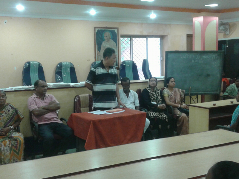
Innovative Thought
Innovative Thought
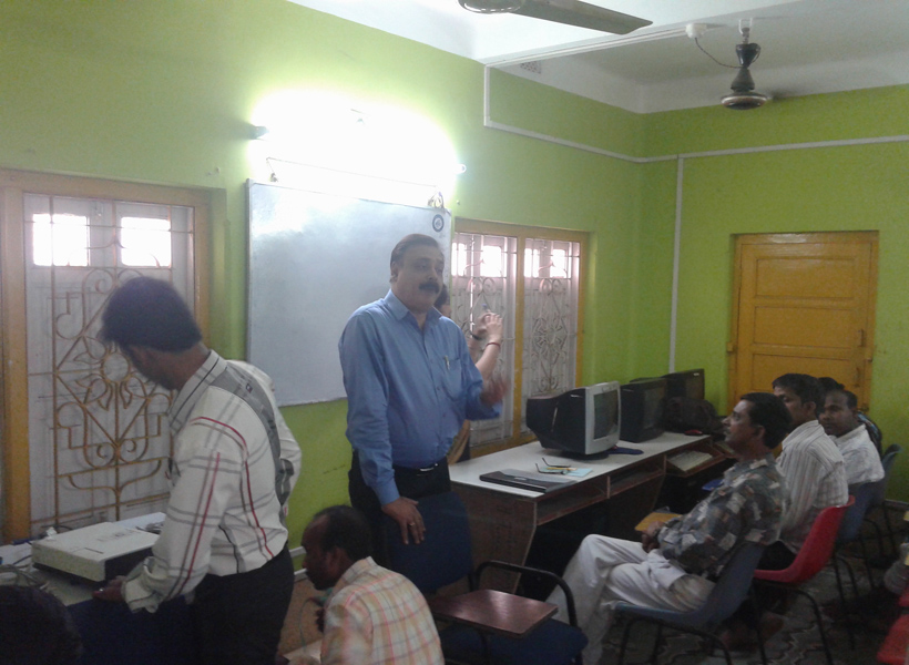
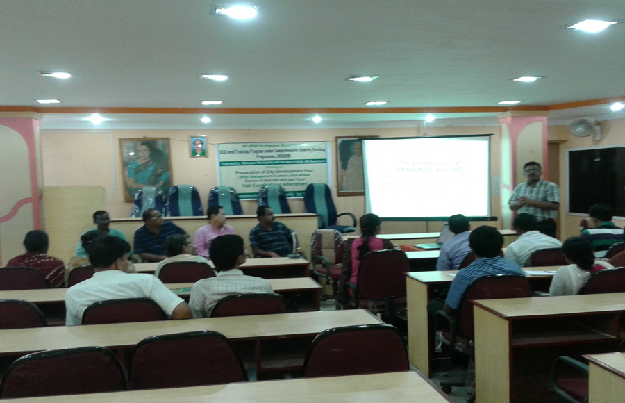
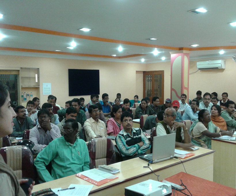
New launches technology based programme:-Initiative has been taken up for computerization of tax after receiving the revised tax from valuation board in 2015.
Outreach camp is organized in different work under NUHM programme.
Immunization camp is organized by municipality at a regular basis.
Progress update
Progress update
DPR for water supply scheme under AMRUT is in progress.City is planning to execute the projects engaging professional agency through e-tendering and technical support from Municipal Engineering Directorate under Municipal Affairs Department, Government of West Bengal.First technical assessment has been done to find out whether all the people in the ULB (considering Census 2011 data) are getting treated water and what is the present quantum (LPCD) of supply, iIdentification of existing Source of WaterThe outcome from this survey reveals that For shortage of water i.e less than 135 LPCD further planning is required to augment the water supply and at the same time planning& designing as per CPHHEO norm & AMRUT guideline considering source as surface water utilizing the existing infrastructure as much as possible.For that municipality identify available land at intake point, for water treatment plant, electrical substation, for zonal Under Ground Reservoir, Overhead Reservoir etc. & design accordingly,Cost effective designing for replacement/reuse of old usable pipelines and rising main & distribution network,and to assess the additional power requirement for augmentation of the system has been done.
DPR for Green space and Park under AMRUT has been submitted.A park/ open space is normally shortlisted for development where capital investment be lowest in respect of higher benefit to the citizen.First and foremost aspect of is to assess the existing situation and service levels gaps for organized Green Space and Parks based on standards prescribed in URDPFI Guidelines In order to assess the service level gap the City shall have to review all policies, plans; scheme documents etc., hold discussions with concerned officials and citizens, as per the requirement and conduct physical assessment of city parks to understand the current The city midnapore should undertake overall assessment of Parks and Open/ Green Space in terms of a) Physical Activities Resources, b) Family Facilities including child friendly play equipment’s, c) Available General Services and Facilities, and, d) Aesthetics
Assessment of the current status of City parks/ open spaces would clearly bring out the gap of open spaces in terms of area allocation, having inadequate citizen friendly features and issues pertaining to its maintenance. And these will lead to formulation of three broad objectives.
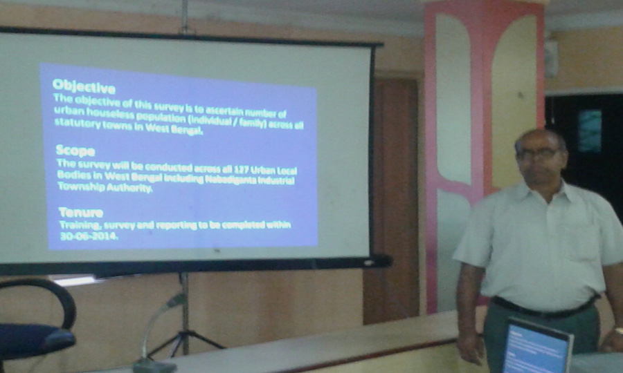
DPR for housing for all for the year 2015-16 has been submitted.The urban homeless persons contribute to the economy of the cities and thus the Nation as cheap labour in the informal sector; yet they live with no shelter or social security . The urban homeless service with many challenges like no access to elementary Public Services such as health, education, food, water and sanitation. Pradhan Mantri Awas Yojona (PMAY) also aims at providing a pucca house to every family with water connection, toilet facilities, 24 X 7 electricity supply and access.The Mission seeks to address the housing requirement of urban poor including slum dwellers through “In Situ” Slum Redevelopment, Affordable Housing through credit linked subsidy, Affordable Housing in partnership and subsidy for beneficiary led individual house. Under the mission, beneficiaries can take advantage under one component only.Total beneficiaries of the scheme are 1332 nos from slums and of Non Slum projected for the year 2015-16 .Total cost of the project is Rs. 5391.936 lakhs as per relevant department & P.W.D. schedule of rates.
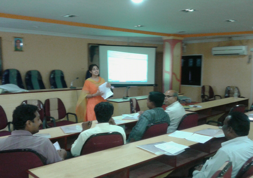
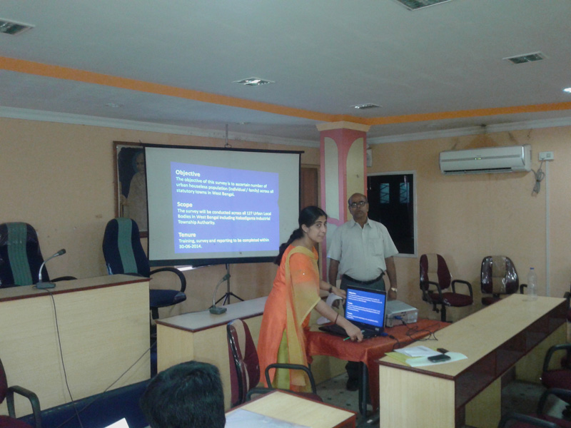
Mapping under NUHM is in progress.
Action Plan To reduce Water Losses to Less than 20%
Action Plan To reduce Water Losses to Less than 20% Midnapore Municipality
Action Plan To reduce Water Losses.
Action Plan To reduce Water Losses.
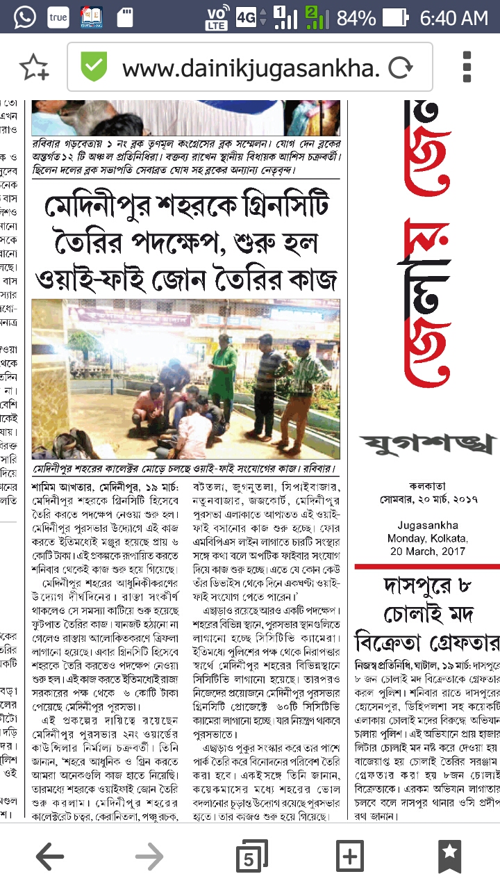
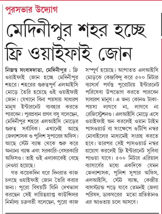
Free Wifi LIC More Area
Free Wifi LIC More Area under Supervision of Midnapore Municipality
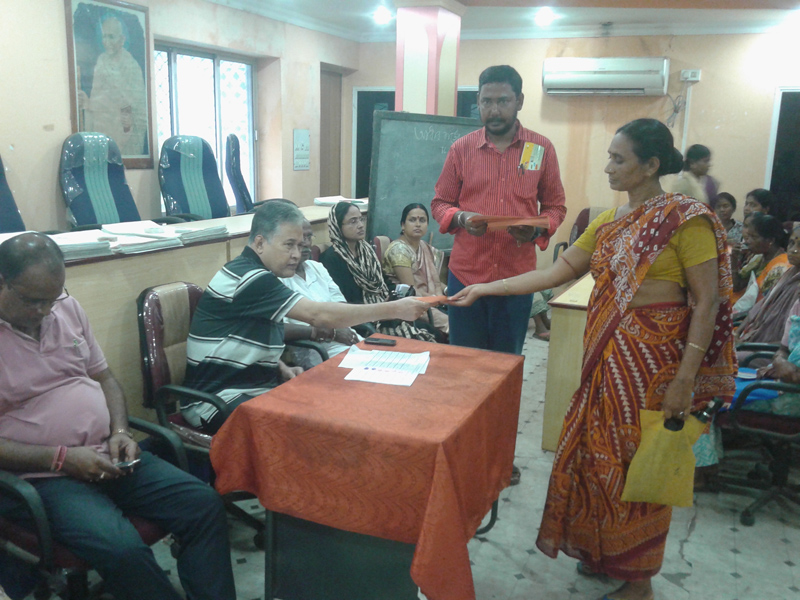
ADHAR CARD Enlistment
ADHAR CARD Enlistment & CAMP,MIDNAPORE MUNICIPALITY
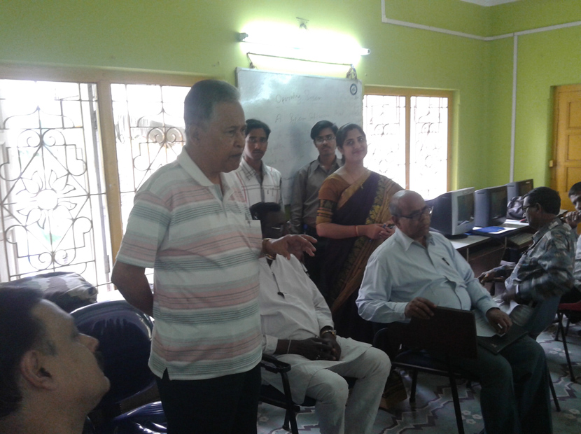
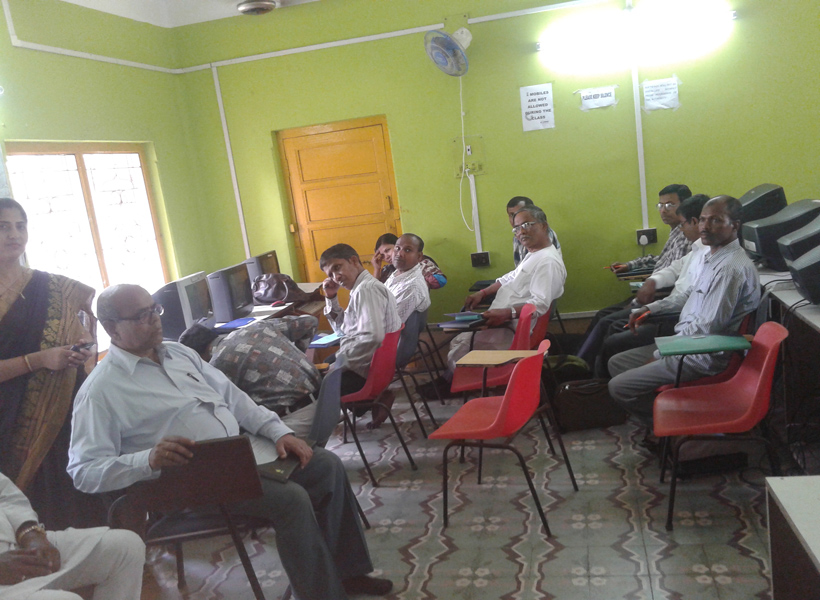
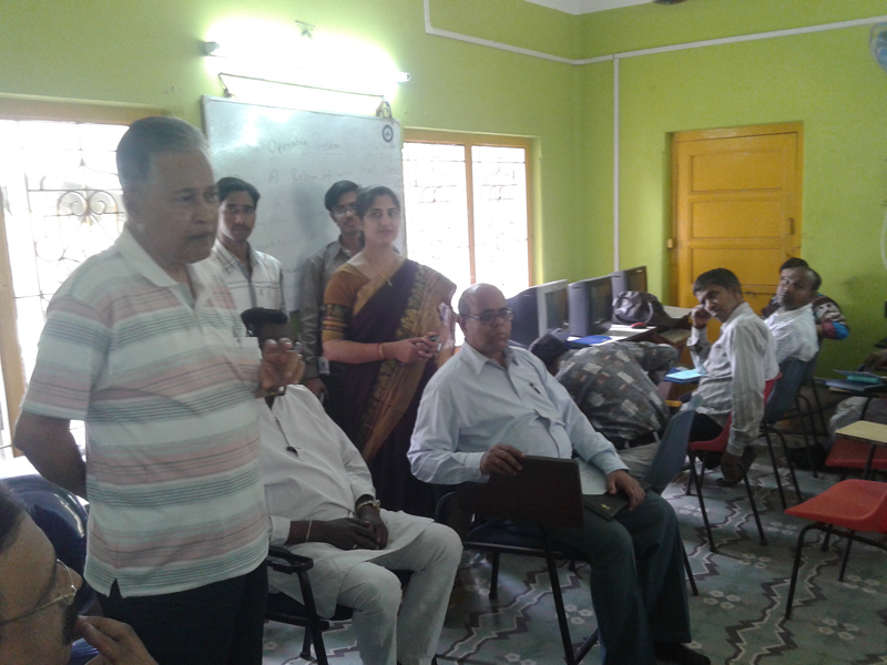
Online Property Tax Collection System.Midnapore Municipality
Online Property Tax Collection System.Midnapore Municipality
Online Property Tax Collection System.. Pay Property Tax at your Fingertips , from Anywhere and any time through Online. Midnapore Municipality. Go to web page link http://www.holdingtax.co.in/.